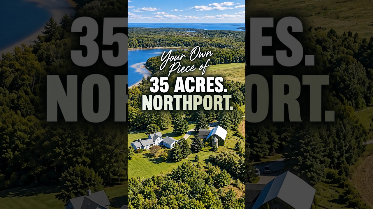
Sander Scott explores how Northport Bay's protected waters shaped the Village of Northport, tracing the harbor's role in local history from potato and cherry shipping at Hazard Park to modern docking. The bay's sheltered conditions and seasonal patterns made it central to the community's identity and economy.
Chapters
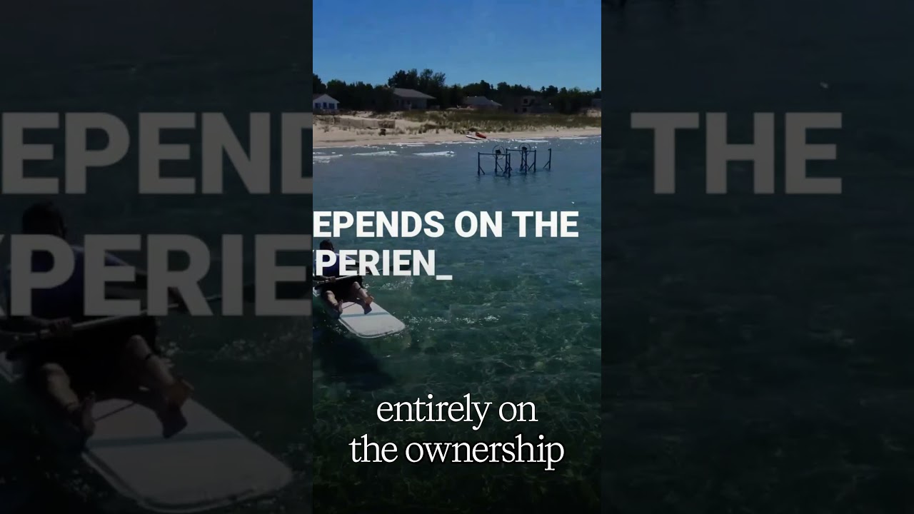
Northport Bay sits on the east side of the tip of the Leona Peninsula, right next to the Village of Northport. This isn't open water Lake Michigan the way that most people think about it. Northport Bay functions as a harbor, and everything about the Village of Northport makes more sense once you understand that water behavior. The bay is protected from the prevailing westerly and northwesterly winds that dominate this part of Lake Michigan. Most of that wave energy hits land before it ever reaches the shoreline here. That's why, especially in the summer months, the water stays relatively calm and predictable. Northport Bay behaves like sheltered water, not exposed shoreline. Docking reality: that protection is what allows docks to exist. You'll see private docks, mooring systems, and working marinas. That's not an amenity decision, that's a water behavior decision. Seasonality of Northport Bay. In the summer, the bay is consistently usable. In the fall, activity does slow down, but the water itself doesn't suddenly change character. In the winter, ice forms earlier here than in the open waters of Lake Michigan because of that shelter. And in the spring, even as conditions shift, the bay still behaves the way it always has. The relationship of Northport Bay to the village of Northport. The village of Northport exists where it does because of Northport Bay. Harbor access mattered long before tourism did. The layout, the way the town relates to the shoreline, all grew out of Northport Bay's reliability. In fact, That's the origination of my family, was 4 Scott brothers came over from England by way of Canada. They stopped off at Canada first, then came to Northport, and they were potato farmers. And the visitor center right at the entrance of Hazard Park, that was the potato warehouse where the potatoes were stored in anticipation for shipment out to Chicago. The Hazard Park area changed from really being a place where potatoes were assembled and shipped out to a place where cherries were. In fact, That was what Hazard Park was called when I was a kid. It was called the Cherry Docks. It was my great-grandfather, Hugh Scott, who was one of the first farmers to switch from farming potatoes to cherries. He was considered an innovative farmer in, in doing that. He married a gal by the name of Alice M. Gill, and you may have caught previous writings or references that I've made that Gill's Pier is named after my great-great-grandfather. He logged what is now all of Gills Pier, all that waterfront property, and much more. What doesn't change? The shape of the bay, its orientation, its protection, and its docking logic. Those things don't change on Northport Bay, and they explain nearly everything else. Northport Bay is what a protected bay looks like in practice. Near Northport Bay, there is another stretch of shoreline and a different bay that behaves very differently. It faces westwardly rather than on the east side as Northport Bay does. So you have a different sunrise sunset type atmosphere. This bay is called Cathead Bay. You might want to check out my video on that as well. And, and really that difference, the difference between these two and how they're oriented, that difference makes more than most people realize.