This content was created by Sander Scott. This content was uploaded by Sander Scott. This is a YouTube video titled "Omena Bay, Michigan — How This Grand Traverse Bay Harbor Functions" (posted 2026-03-08). The excerpt is a single-speaker explanatory narration (labeled SPEAKER A) describing how Omena/Omina Bay behaves: the influence of landform shelter and fetch on wave energy, directional wind exposure, dock stress and feasibility, bottom composition and depth transitions, shoreline response to long-term Great Lakes water-level cycles, and seasonal patterns. It highlights practical variables for waterfront buyers (orientation to dominant wind, parcel-specific bottom composition, depth 50–100 ft offshore, and dock adjustability). The excerpt ends with a brief, unrelated personal exclamation about “me and a bear.”
Chapters
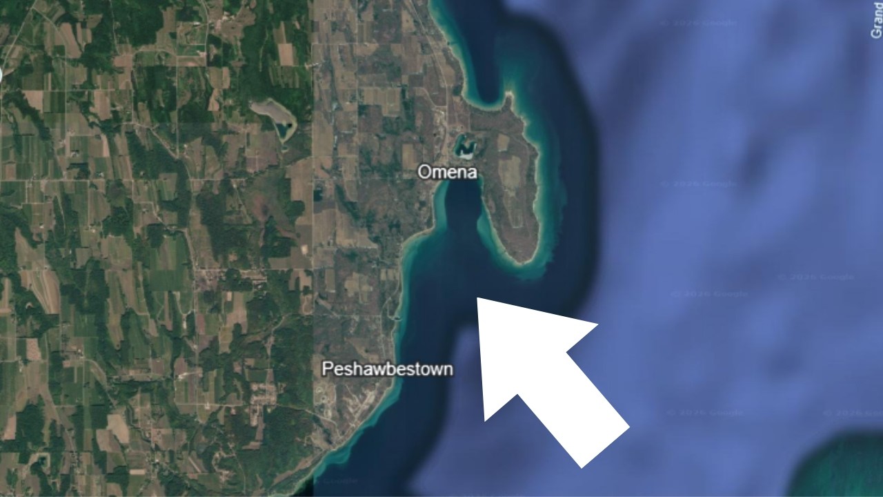
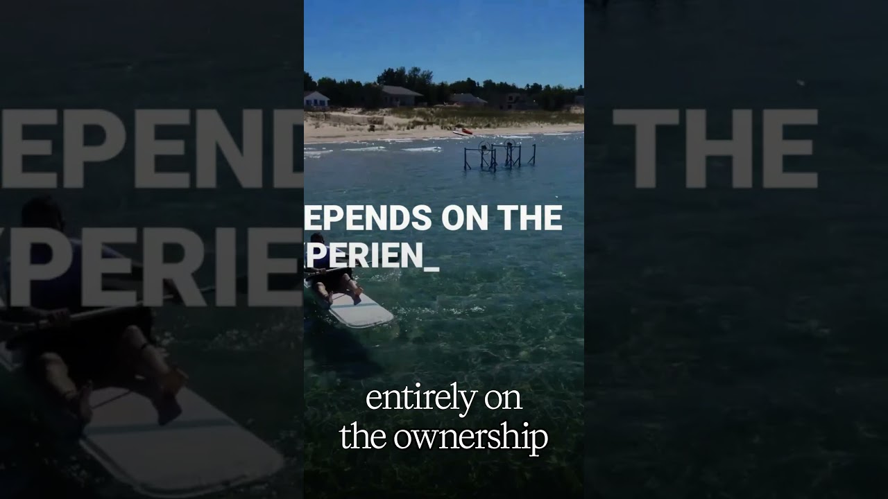
Before you buy waterfront property on Omina Bay, understand this: some parcels stay calm in 20-mile-an-hour winds, others don't. It's not price, it's orientation and fetch. Fetch is how far wind can travel across open water before it hits the shore. More fetch means more wave energy, and that's parcel-specific on Omina Bay. So this video explains how the bay actually behaves and what that means for waterfront property. Where Omina Bay sits. Omina Bay sits along the eastern shoreline of the Leelanau Peninsula within Grand Traverse Bay. It lies behind Omina Point, and that landform matters. The point reduces direct exposure to prevailing westerly wind systems, But the bay remains open to wind traveling north and south along the length of Grand Traverse Bay. Exposure here is directional, and that affects every waterfront parcel differently. Fetch and wind patterns. As I mentioned before, wave energy in Omina Bay is determined by fetch, and that's the distance wind can travel across open water before reaching the shore. When wind moves southwest through north to east, landform shelter moderates surface activity. When wind runs down the axis of Grand Traverse Bay, surface movement increases. For property owners, that means the following: Number 1, dock stress varies by orientation. 2, shoreline impact depends on sustained wind direction. And 3, surface calm is conditional, not constant. These patterns repeat. They are a result of geography. They are not random. Docking and depth. Dock feasibility is also parcel-specific. Depth transitions in many sections are very gradual. There's a gradual drop-off, as they say. But bottom composition varies along the shoreline curve. Variables include the following: sand dominant stretches, mixed sand and stone, submerged rock in some locations, and seasonal water level fluctuation. Water levels across the Great Lakes cycle affect dock length and shoreline position. This is a structural reality, not a market opinion. Shoreline behavior. Beach width expands and contracts with those long-term water level cycles. Storm frequency influences temporary reshaping, but Omina Bay does not move, obviously. The shoreline curvature does not change. The east-facing orientation remains fixed. So the geographic framework is stable. Use patterns adjust within that framework. Seasonal cycle. Summer increases lots of activity— boating, swimming, just lots of shoreline activity. Fall, you see a reduction in that traffic. Winter may include ice formation depending on the temperature and wind direction, and spring brings ice recession and increased water clarity. These cycles repeat. The bay's behavior is consistent over time. What matters most for buyers? If you're evaluating waterfront property on Omina Bay, the critical variables are the following: orientation relative to dominant wind, bottom composition at your parcel, depth at 50 to 100 feet offshore. So you want to get a sense of how gradual that drop-off is because that's going to determine dock length. Long-term water level fluctuation, and dock adjustability. Omina Bay is a naturally sheltered harbor within Grand Traverse Bay. Its behavior is defined by landform, wind direction, and repeatable seasonal cycles. Those conditions persist across decades, and they determine how specific waterfront property will function Ah, oh, me and a bear.