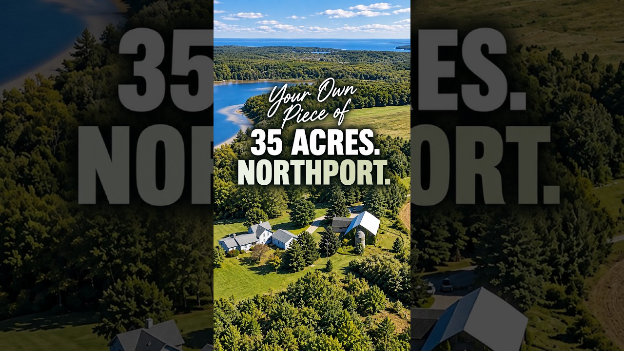
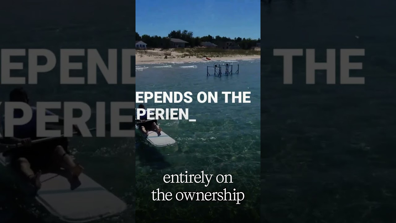
Cathead Bay on Michigan's Leelanau Peninsula is a west-facing inlet bounded by state park and conservancy lands, limiting development and access. Seasonal water cycles and rocky, sandy shoreline make permanent docks rare, so kayakers dominate. The bay's protected status and geographic constraints create a self-regulating, low-impact environment shaped by weather and geography rather than casual use.
Chapters
Cathead Bay is a bay on Lake Michigan on the west side of the tip of the Leelanau Peninsula. A good portion of the shoreline along Cathead Bay sits within Leelanau State Park, and that stretch of shoreline from Cathead Point to the private waterfront lots that are at kind of the northern part of Cathead Bay is known locally as Magic carpet, and that's for good reason. It is a magical stretch of shoreline of sandy beach that a lot of times it's difficult to find a rock. This video isn't about value or preference, it's about how Cathead Bay functions over time. Where Cathead Bay sits. Cathead Bay's position at the northwest edge of the Leona Peninsula sets the conditions that shape it. Its orientation places it directly in the path of prevailing Lake Michigan weather patterns, and the surrounding landform creates a clear boundary between sheltered moments and exposed conditions. Geography on Cathead Bay isn't an abstract concept, it sets the rules. Water behavior over time. Over the summer months Cathead Bay tends to move between calm and active conditions with long stretches of generally usable water interrupted by periods of wind-driven change. The difference between when the water is technically accessible and when it feels comfortable is noticeable, and that contrast repeats year after year. The bay's behavior is predictable even when maybe individual days are not so predictable. Access and friction. Because docking opportunities are limited, access to the water on Cathead Bay is different than other bays such as Northport Bay, Omina Bay, or Sutton's Bay. Kayaks and personal watercraft are common, while permanent docks are rare and are typically confined to the more sheltered areas of Cathead Bay. And that tends to be actually north of the, what I would refer to as the dune area. And that's something that you need to know from a use standpoint. That if you look at it from the satellite, there is a dune-y area of the private lots along there, and that transitions as you head north into a more densely vegetated area. And it's about that time where the shoreline changes from being pure sand into a mixture of rocks and sand. The remnants of docks, often referred to by locals as cribs, and you'll see those kind of jetting out into the water, and that creates a unique visual effect, obviously, but it also creates some hazards in terms of motorboats. It's kind of paradoxical that that's the area that tends to be the most sheltered and the most opportunity for a dock that will be able to stay through the season, but it also has the most underwater hazards. For those same boats that you would likely want to dock. Much of the shoreline along Cathead Bay just simply is not suited for docking, and that reality quietly limits how casually and frequently the water is used. Seasonal usability. Cathead Bay follows a clear seasonal rhythm. Summer brings the highest level of activity and accessibility while the shoulder seasons narrow use and slow the pace. Winter transforms the shoreline entirely, often into an icy and quite rugged landscape. What remains consistent is the bay's role as a place for observation, quiet use, and interaction with a largely undeveloped natural setting. How people actually use Cathead Bay. Over time, patterns repeat. Use tends to be intentional rather than casual, shaped by weather, access, and physical constraints. When it comes to water use habits, they form around when conditions allow comfortable use, and those habits look much the same across the decades. The environment here influences behavior without instruction. Shoreline and bottom character. Kethead Bay has a dual physical character that I alluded to earlier in the video, that you have these long stretches of soft sandy shoreline where it meets that clear water. And then when you go farther north, you'll see a clear break when you look at it from the satellite of where the dune area changes into a more densely vegetated area with more trees And that's about the location where the shoreline changes from pure sand to a more intermixed rock— with rocks. Sandy patches near the shore are interrupted by large submerged rocks and remnants of those old structures, of those old docks on the bay floor. The clarity of the water makes these features visible, and everyday interaction with the bay often involves careful attention to what's beneath the surface. Because Cathead Bay faces west, clear evenings often open sight lines across Lake Michigan. On those days, it's possible to see North Manitou Island and the Fox Islands, both North and South Fox Islands, from the shoreline. These views are a direct result of the orientation and visibility rather than having anything to do with seasonal or market-driven factors. So what doesn't change about CADHEAD BAY? Well, over long periods of time, CADHEAD BAY remains defined by the same constraints. Its location at the end of the peninsula limits access and regular use. Remember, it's 7 miles north of Northport, and this distance creates a sense of privacy and seclusion and relief from the hustle bustle. But that Seclusion and distance can also start to feel like isolation over time. Really, the densely forested dunes and the topography create a separation that preserve that seclusion. Submerged glacial rocks and shallow areas continue to dictate where boats and swimmers can safely go. Lake Michigan's water levels rise and fall over a multi-decade cycle. Narrowing and then rebuilding the beach again and again over time. Protected habitat and conservation status ensure that the shoreline remains rustic and undeveloped by design. Keep in mind that Cathead Bay, the, the private lots along there are surrounded by protected land with Leelanau State Park on its eastern and southern borders and the Leelanau Conservancy land to the north. Cathead Bay is a fixed point of geological and ecological transition at the tip of the Leelanau Peninsula. The predictable cycles of Lake Michigan's water levels and the permanence of its physical constraints define a landscape that remains and will remain fundamentally undeveloped. Its identity is rooted in geography and protection, creating a self-regulating environment that exists apart from regional growth or seasonal shifts.