Charlotte's Tree by Tree program lets residents map trees on their property using a smartphone and measuring tape. The system calculates each tree's eco-benefits: pollutant removal, carbon dioxide absorption, and stormwater runoff interception. Help preserve the city's canopy by documenting your trees.
Chapters
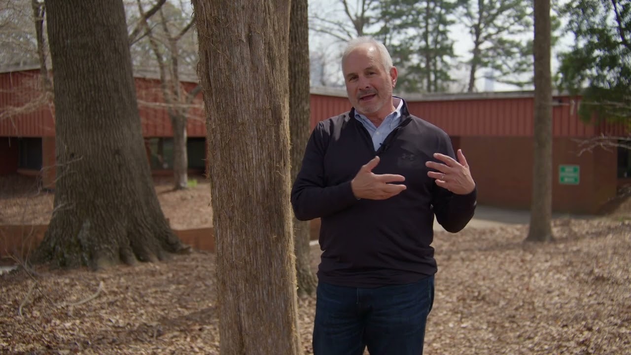
They call Charlotte the City of Trees, and these old friends improve our air and water quality. They provide shade and homes for wildlife. They relieve stress and increase property values. And one of the best ways to protect Charlotte's tree canopy is to keep track of the trees. That's why Charlotte created Tree by Tree, the official online inventory of trees in Charlotte. And we need your help By identifying the trees on your property, you'll play a critical role in preserving our precious tree canopy. Now, you're going to need a smartphone or iPad, measuring tape as well, and you can start by going to the Tree by Tree website. You'll see a map with colored dots. Those are the trees that have been mapped already. The first thing to do is to create an account so you can begin mapping trees. It's easy. You'll allow location tracking on your phone and then pinpoint exactly where your trees are, either with GPS, or you can click on the world icon and enter your address. So far, so good. Next, click Add Tree. You'll be asked to choose a type. And simply click tree. If you're using a mobile device, then you can do it simply by standing next to the tree and clicking on the GPS field. If you choose to do it by map and the world icon, you can use the cursor on your PC to indicate precisely where the tree is. Be sure to click only once. Now it's time to enter your type of tree. If you don't know, there are There are several apps like Seek that will identify a tree from a picture. The AI icon on your phone can also identify many trees from photographs. Then you'll need to enter the number of stems your tree has. Many trees have one single trunk, but others, like crape myrtles, often have multiple trunks coming out of their root system. Next, you'll add the DBH, or diameter at breast height, of your tree. That's measured at about 4.5 feet from the ground. That's where your trusty tape measure comes in. To find the diameter, measure the tree's circumference by wrapping the tape measure around the tree, then divide that number by 3. 3.14. Remember pi? Not the dessert. Or just use an online calculator. We won't judge. If your tree has multiple trunks, measure each one separately. Nature's complicated. Then the final entry is the crown light exposure. A fully exposed canopy would be a tree that's not Is the tree shaded from any side or from above by any other trees or buildings? Use your best judgment to enter whether the tree is shaded on one or more sides or not at all. Finally, click on the X located at the top right of the screen and the website will save your information. Your tree has been mapped and you're ready to move on to another tree. Now, here's the cool part. Within a few minutes of entering that data, you can click on your tree and see how much each tree benefits the environment. We call them eco-benefits, and they'll tell you how many pollutants your trees scrub out of the air, how many pounds of carbon dioxide they absorb, and how many gallons of runoff from rainwater they intercept every year, helping to prevent flash flooding. You are a crucial part of caring for our spectacular tree canopy. Together, we can preserve Charlotte's beautiful and bountiful green blanket, tree by tree.