A short on-site YouTube walkthrough by Rhett Kerby explaining cut-and-fill (grading) work visible on a site. The speaker shows areas where high spots were cut and low spots filled, notes that this removed vegetation leaving disturbed soils, and identifies long, mildly sloping areas that have high potential for erosion draining to a nearby stream. The speaker’s task is to locate areas needing stabilization (gauged by slope length) and ultimately restore the site—including establishing pollinator habitat—so the finished site can be improved relative to pre-construction.
Chapters
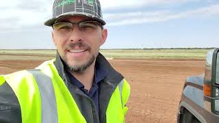
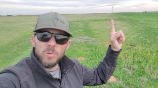
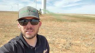
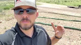
You may hear me talk about cut and fill on projects, and I wanted to show what cut and fill looks like on the ground. This area behind me is the civil work or the cut and fill work, where high areas have been graded down, low areas have been filled up. But what this does is it removes any of the vegetation. You can see the green here. That is an area that's not cut and filled. So it's. It remains stable. This area all behind me. And you can kind of, as I scan around, you can see that there's a significant amount of disturbed land that is in the need of stabilization. And that's what I'm here today to do, is identify these areas where stabilization is most needed, the areas where soil erosion has the highest potential. And that's gauged by the length of slope. So you know how big an area is. Starts right here behind me, runs all the way down here to a small stream. So this is a fairly lengthy slope. It's not real steep, but it would not take a significant amount of rain to actually begin to erode this down towards the stream. So there's definitely some areas where stabilization is needed on a site like this. This is, you know, a considerable amount of disturbed that we are looking to stabilize and at some point, upon final stabilization, incorporate pollinator habitat and make this area. It's actually going to be better than it was before construction. So that's what makes this part of my job exciting. Thanks.