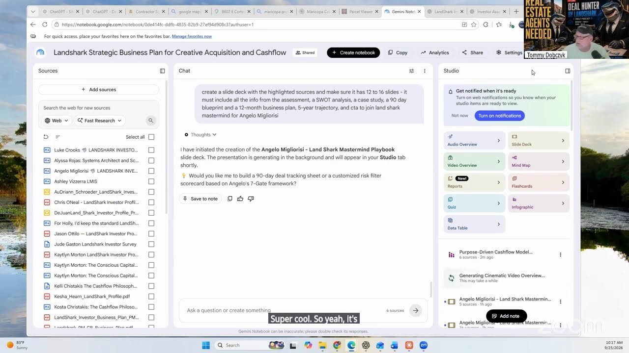
Learn how to assess and level sloped land for a work yard. Use free online tools like the Maricopa County Assessor's topography layer to measure your parcel and visualize terrain, then break rock with a breaker over weeks before leveling.
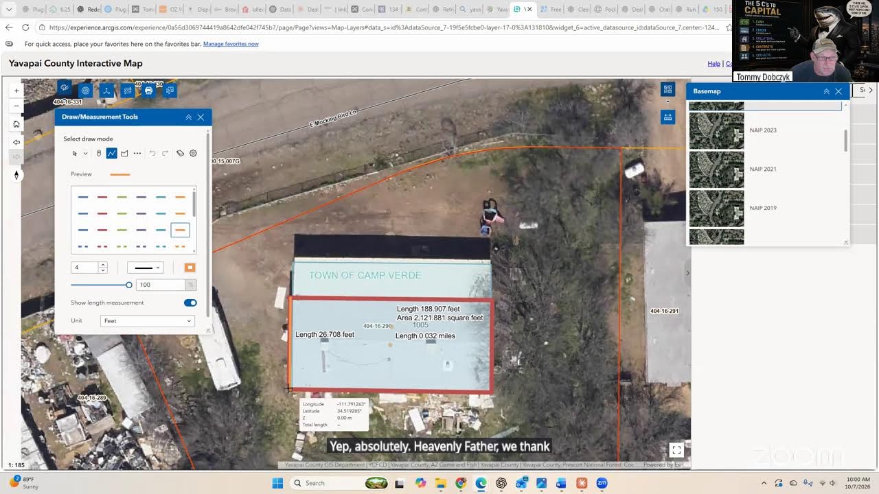
It's pretty, it's pretty unstable ground right there. I'd have to get a breaker and go in there and just hammer some rock for a few weeks, but I could level out that entire slope and get it to the point where we pull vehicles in there and it's just a laydown yard. So, but I'll show you how to do that on free estimates because there's a layer in there. I think if you go over to layers again, it shows you measure.
No, it's unfortunately, I think that's just like a click and it'll just tell us how big it is.
There's one of them that does topography where you're able to— I actually, I actually use the Maricopa County website for the assessor, because that one has a topography layer on it.